
Why Plurality in Navigation?
What is Navigation?
The culmination of, ‘survey knowledge’ -to orient ourselves to the destination and “route knowledge”, familiarising with the route and travelling through the familiar path.
Physical and Digital Triggers
With the top view navigation, we eliminate the cues from what we see in front of us- landmarks, local interaction, landscape, people, food, spots.
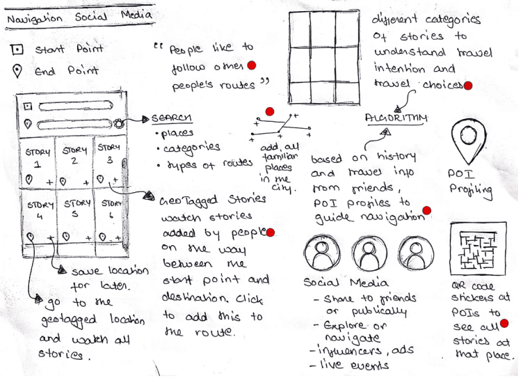
Social interaction, engagement, and isolation
To be able to show collective focus on any societal cause or concern, we need to be able to develop a sense of belonging, collective acknowledgement, and engage with our surroundings. But today, our practices isolate us from other people and our surroundings, eliminating the interactions that bring collectiveness.
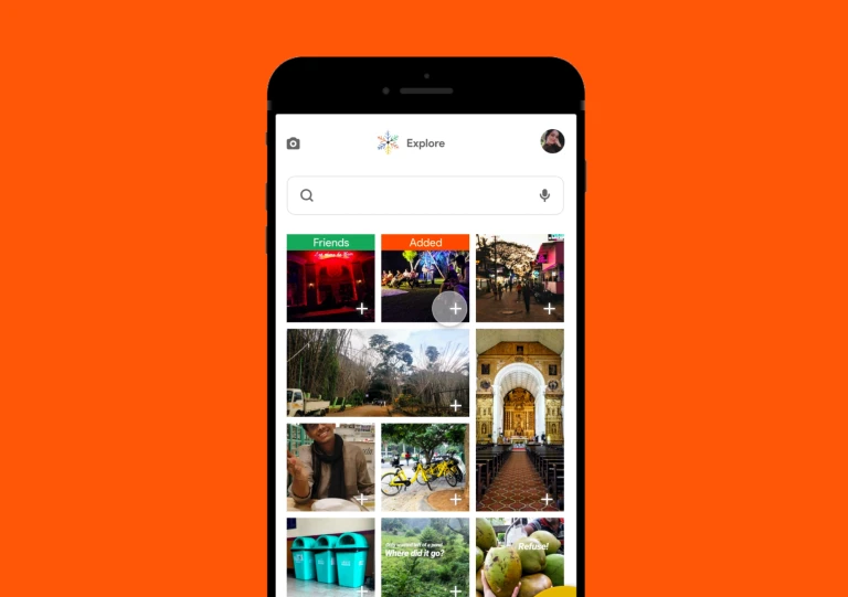
Quantitative and Qualitative Data
To navigate today, we use distance, time, and density. What about the qualitative aspects, such as the purpose of travel, intention? What are the characteristics of the destination and the journey? And what do I know about the route?
"My father is taking my brother and me to the beach. Should he still go by the shortest distance and the least time?"
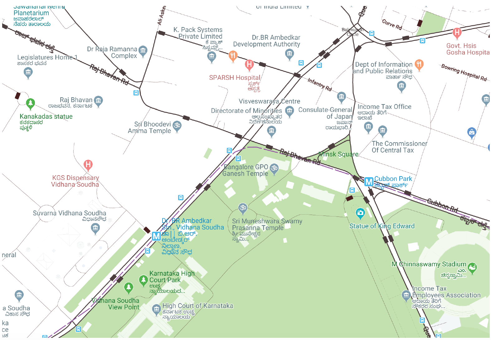
Case Study: Cubbon Park, Bangalore
Bangalore City is expanding, and more and more people are settling at the periphery of the city. With people spending long travel hours, it’s time to divert focus from the destination and towards the journey travellers are taking every day.
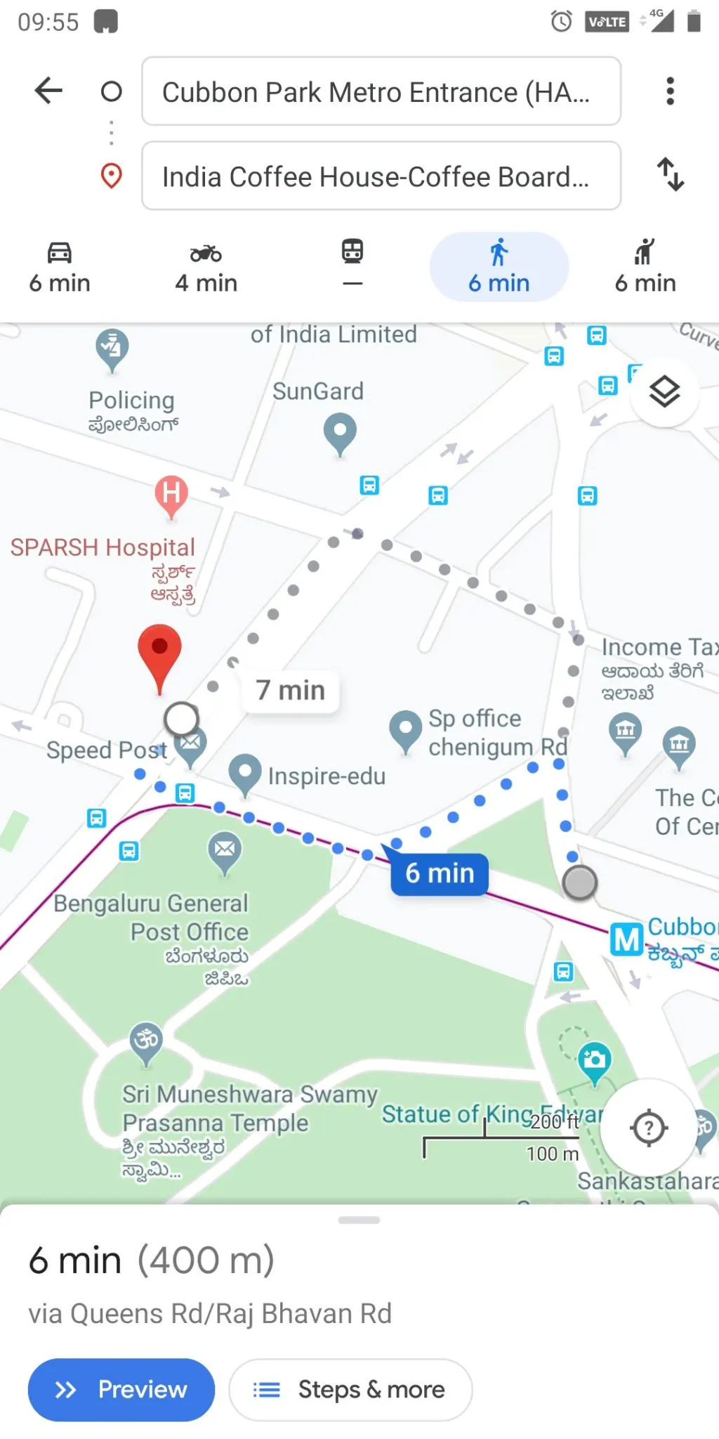
Site Mapping and Primary Research
 |  Img 3, 4. Physically mapping the hotspots, local references, points of interests, monuments, iconic food stalls, shops, etc. | |
 | 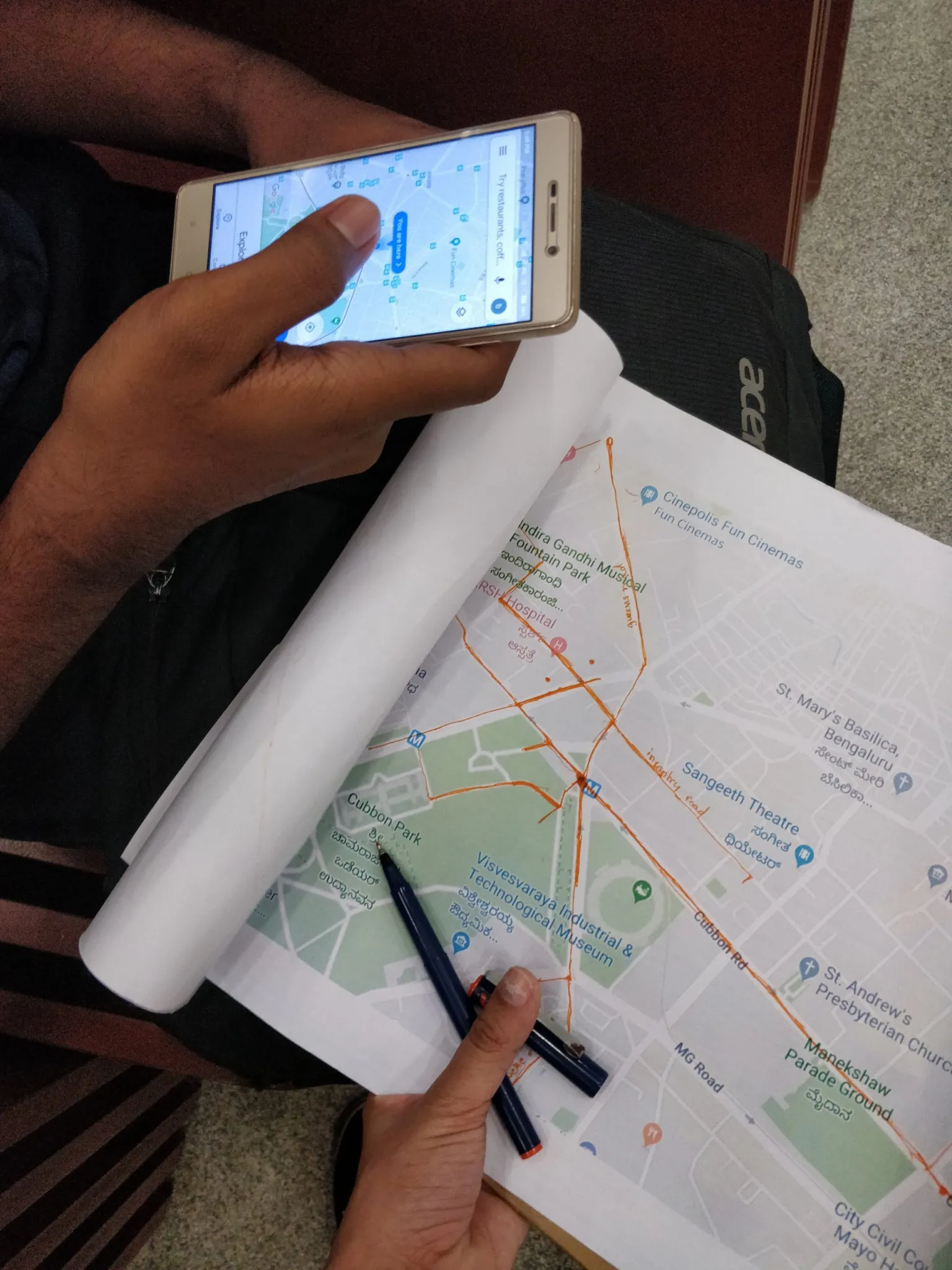 Img 5,6,7. Asking travelers to map the route from their start location to the metro station. | 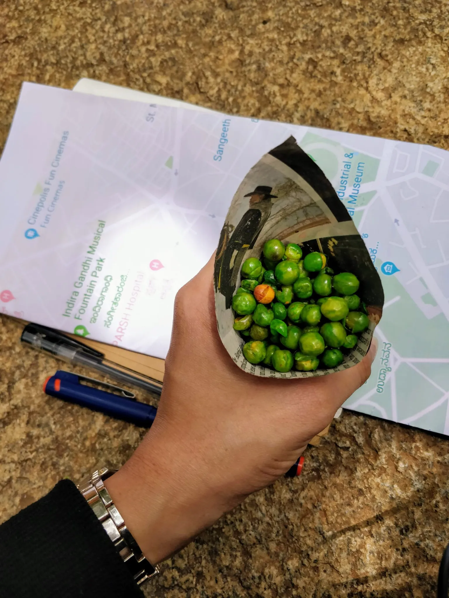 |
|---|---|---|
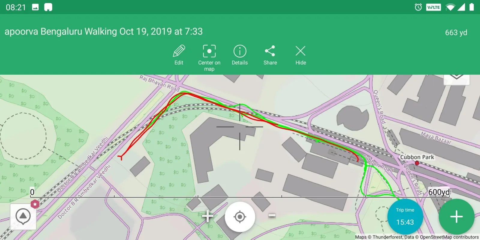 Img 8,9. Mapping all possible routes from the points of interest to the Cubbon Park metro station. Shadowing travelers to their destination. | ||
Literature Review and Secondary Research
From finding the overlaps and gaps within the literature of:
navigation methods;
qualitative spatial understanding and community interactions;
Offline triggers for navigation;
user’s travel choices,
Data points are mapped into steps of experience-based navigation:
intention of travel;
identification of points of interest (POIs);
route planning;
navigation and alternative methods;
user interactions and inputs.
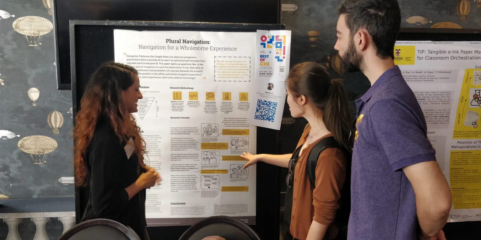
Read the Full Literature review and the ACM Published Short Paper.
Implementing Plurality in Navigation
Virtual Signboards | POV based Social Navigation | Audio Routes |
|---|---|---|
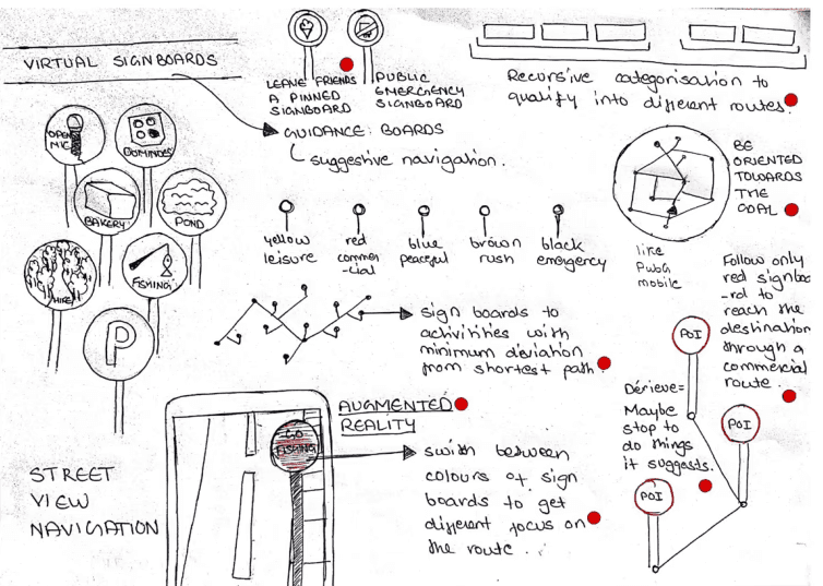 |  | 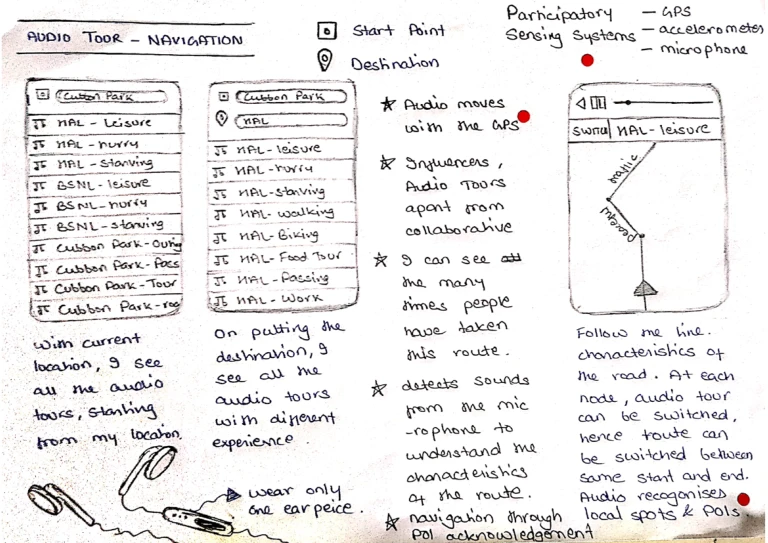 |
Research Implementation: Recursive Categorization | Research Implementation: Deviation calculation of the points of interest (POIs) | |
Tech Implementation: | User research Implementation: | Tech Implementation: |
Routes: A Plural Navigation Platform
Strategy -
Social Navigation platform tailored to recognise to the intention of travel using user-generated POI(points of interest), enhancing collective acknowledgment and social engagement in a physical space.
 | Scope - |
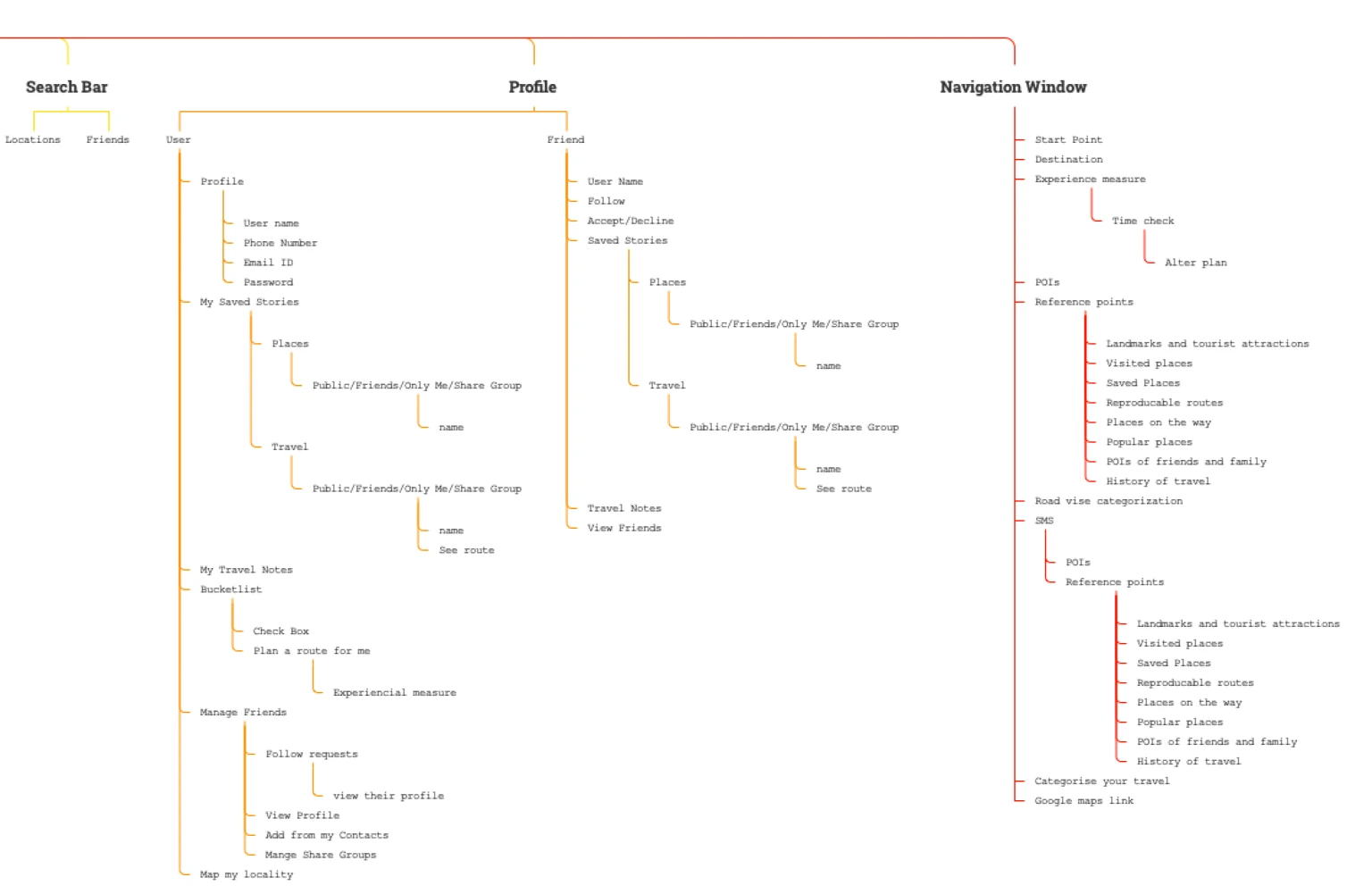 | Structure - |
 | Skeliton - |
Onboarding and LandingRoutes is a navigation aid built to break down journeys into sub-journeys with various points of interest for the users.  Get out and ExploreBy understanding people travel patterns and places of their liking and relevance, the navigation process is personalised by profiling users and providing points of interest based on their data.  Route OptimizationThese are suggested to the users by calculating the measure of deviation that they must take from the shortest path, based on the intensity of their experience, from leisure to emergency. This is calculated by barring the time and keeping the deviations within the time limit. | Profile and PersonalisationThese points of interests could be physical landmarks of the place, local spots, etc. By shifting the focus of navigation from the end point to the local spots of the city, Interactions are encouraged, user’s spacial knowledge is prioritised and focus is brought to the locality of the locations that one traverses during their journey.  To Inspire and Influence being off the phone through the phoneThese points of interest are suggested to users by other users, building collective 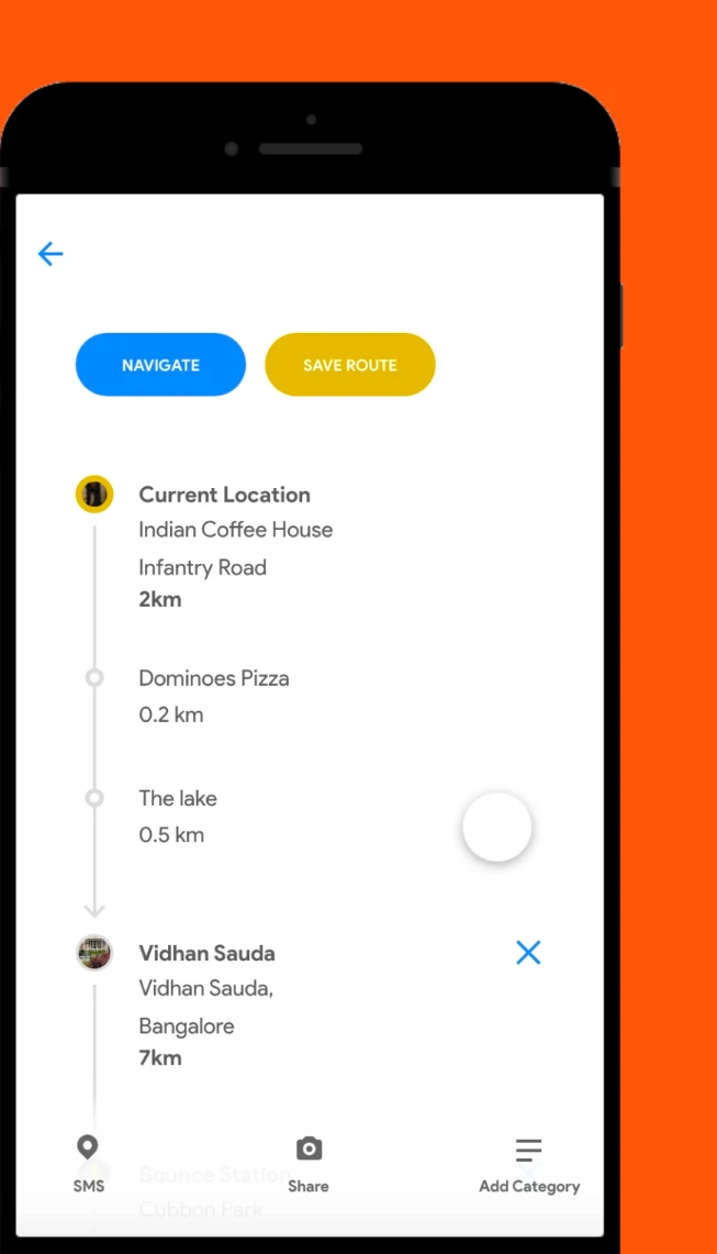 | |
Conclusion
To account for the plural experiences among the users, we need to understand that there are plural routes to navigate between the same starting point and the destination. As human decisions are logical but also empirical, letting the users navigate the routes they know of cuts down on the assertive nature of following one single line. Various navigation cues are physically present at locations, street names, signboards, points of interest, etc., thus harnessing these would bring offline and online together. Bringing attention to the offline cues in our surroundings brings attention to these places thus, causing collective acknowledgment. Which would mean a certain shop, tourist attraction, or a point of interest becomes a landmark of that place, accepted by a mass of people. This could bring a sense of collective belonging to the locality and enhance community interactions. So, will, breaking down a journey into sub-journeys. Providing a wholesome experience then will be tackled at three levels -the destination, the sub-journey points-of-interest, and the connecting routes. The intention of the journey can change and alter anytime during the travel and thus the routes should be reflective of those travel choices. And finally, to cater to all this subjectivity, time should be the governing factor that maintains the focus on the destination by permitting or stopping any deviations in the route. In the study of navigation or any other automated systems, it is important to study the role of providing subjectivity in its experience to effectively cater to the users. Every user behaves differently towards and because of the experiences provided to them.